


Research Questions/Objectives:
Brief Description of the Project:
This project will integrate hyperspectral satellite imagery with in-water ecological data to evaluate coral reef health and identify early indicators of climate-driven stress. By leveraging the fine spectral resolution of new-generation hyperspectral platforms, the research will develop spectral indices specific to coral physiology, including pigment breakdown, symbiont loss, and changes in photosynthetic efficiency.
Spatial and temporal analyses will be used to map stress hotspots across selected reef systems, and to assess how drought-related climatic drivers, particularly elevated sea surface temperature, reduced cloud cover, and prolonged calm conditions—contribute to bleaching risk. The project will deliver a remote-sensing workflow for reef vulnerability assessment, providing tools valuable for early-warning systems and conservation management.
Background and Significance of the Research Question to drought risk, vulnerability, preparedness, or resilience:
Although drought is typically conceptualised as a terrestrial phenomenon, marine drought analogues, including anomalously dry, hot, cloud-free conditions, have profound impacts on coral ecosystems. These patterns drive marine heatwaves, increased irradiance, reduced water mixing, and subsequent coral bleaching. Understanding and predicting reef vulnerability under these conditions is essential for climate adaptation.
Hyperspectral satellites offer unprecedented opportunities for monitoring reefs at scale. Their ability to capture subtle spectral changes allows for early detection of bleaching precursors, sometimes before they are visually apparent. Implementing this technology contributes to:
This research aligns with broader climate resilience goals by providing a data-driven, scalable method for anticipating and mitigating the impacts of drought-related environmental stress on coral reef systems.
Academic and research experience relevant to the honours project:
I bring a combination of marine science field skills, geospatial innovation, and international research engagement that directly supports an honours project focused on hyperspectral satellites and coral resilience.
I am leading the PMRF pipeline project, a research initiative that was selected by OCEANX out of thousands of global applicants—a recognition reserved for only the most innovative and high-impact marine science proposals in the world.
OceanX is internationally renowned for advancing ocean exploration, high-resolution imaging, and scientific discovery alongside leading research institutions and global conservation partners. Being chosen by OceanX places the PMRF pipeline among a small group of projects considered capable of driving the next generation of ocean-science breakthroughs.
Our work focuses on developing advanced monitoring and assessment frameworks for coral reef ecosystems, integrating ecological surveys, imaging technologies, and data-driven diagnostic tools. My involvement in this project has allowed me to contribute to:
Being part of an OceanX-selected project highlights my ability to contribute to research recognised at the highest level of global marine science, and it directly aligns with the cutting-edge nature required for an honours project using hyperspectral satellites for coral-reef resilience.
I presented a Green LiDAR habitat-mapping project at an international research forum in Singapore, where I represented James Cook University’s College of Science and Engineering and the Northern Queensland Drought Resilience Adoption and Innovation Hub (Drought Hub).
Green LiDAR offers a non-invasive, high-resolution solution for mapping shallow-water ecosystems, capturing benthic structure and habitat complexity essential for assessing climate vulnerability.
My presentation at this global event showcased JCU’s innovation in combining:
This opportunity demonstrated my capacity to communicate advanced geospatial concepts and contribute meaningfully to the international scientific community.
Principal Supervisor’s skills and experience in relation to this project topic:
Dr. Ben Jarihani is an expert in hydrology, remote sensing, environmental modelling, and geospatial analysis, with extensive experience applying Earth-observation technologies to ecological and environmental risk assessment. His work frequently involves integrating satellite imagery, field observations, and modelling to address questions related to climate impacts and environmental resilience.
His expertise in hyperspectral analysis, drought monitoring, and environmental hazard assessment makes him well-suited to supervise a project that bridges satellite remote sensing with climate-driven vulnerability studies in coral reef ecosystems. His guidance will be critical for building a robust methodological framework, ensuring strong analytical rigour, and linking scientific insight to real-world resilience strategies.
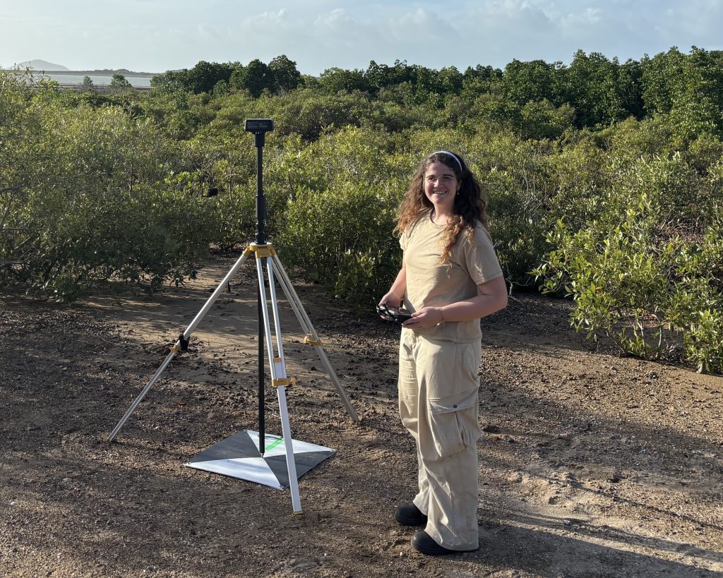
I was born in Turin, Italy, and I am currently studying environmental science at James Cook University in North Queensland. I completed a bachelor’s degree in marine science, where I developed a strong interest in how marine and terrestrial systems are connected. Through my studies, I became increasingly aware that processes occurring on land, such as land use, rainfall, and river runoff, can strongly influence coastal environments. Understanding how land and sea systems depend on one another has become a central motivation for my research.
My research focuses on water quality and sediment runoff from river catchments into the coastal waters of the Great Barrier Reef. Rainfall events and catchment conditions can transport large amounts of sediment through river systems, which eventually reach the coast and influence water clarity and ecosystem health. These processes demonstrate how closely connected landscapes, rivers, and coastal environments are. My work uses satellite remote sensing to monitor sediment plumes and track water-quality changes across large areas that are difficult to observe from the ground. I am interested in the potential of hyperspectral satellite technologies, which collect detailed spectral information and can improve our ability to detect and analyse environmental changes in complex coastal and catchment systems.
I chose this area of research because I am passionate about understanding environmental processes and using new technologies to observe them at scale. Remote sensing provides a powerful way to monitor how landscapes and water systems interact over time.
Future Career Goals:
In the future, I hope to pursue a career in environmental research that combines remote sensing and Earth observation to support better management of catchments, water resources, and connected coastal ecosystems.
To be completed.
To be completed.